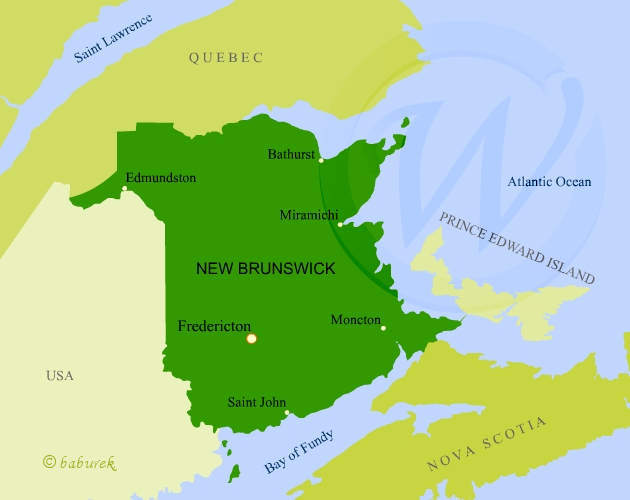
Map of New Brunswick
Province of New Brunswick is located on the east of Canada with coastline in the Gulf of Saint Lawrence. On the north the province shares its border with province of Quebec, on the south with province of Nova Scotia and the Bay of Fundy while province of Prince Edward Island is connected to New Brunswick with 12.9km long Confederation bridge (photo). On the west New Brunswick borders with the United States of America – State of Maine.
Map of New Brunswick
