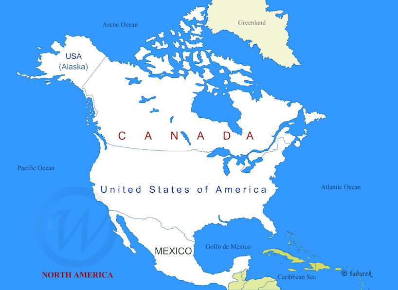
Map of North America
North America is surrounded by three oceans. To the north shores of North America are on the Arctic Ocean, the Atlantic Ocean on the east, the Pacific Ocean on the west. On the south coastline is stretching alongside Gulf of Mexico and the Caribbean Sea more to the south.
North American countries on the Map

North America, as one of the Earth’s continental tectonic plates, includes Central America, Caribbean and Greenland (map), therfore as such on the south it borders with South America.
Regional geographic grouping that consists of Canada, U.S.A. and Mexico as North America places Central America on the Mexico’s southern border and the Caribbean Islands and Bahamas south-east of Gulf of Mexico and the US State of Florida.
Maps of countries in North-America
- Canada (14)
- Mexico
- United States (3)
North America Image Gallery


More in Image Gallery North America…
Videos North America…
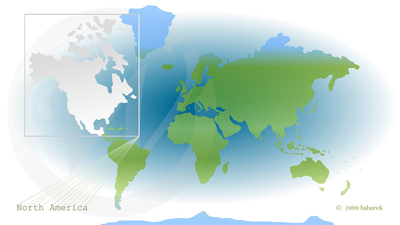
North America on the World Map

In the neighborhood
Map of Central America
Map of Caribbean Islands
Map of Arctic…