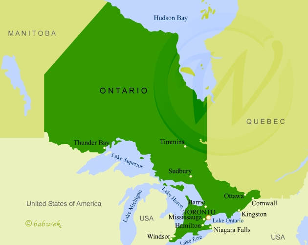
Map of Ontario
Province of Ontario, in Canada, is bordering on the east with province of Quebec, on the north by Hudson Bay, on the west by province of Manitoba and on the south by United States of America.
Capital city of the province is Toronto. Capital city of Canada, Ottawa (photos), is also located in Ontario.
Map of Ontario

Camping at Ivy Lee campground video, 1000 Islands…
Niagara Falls Photo Gallery…